
This site stays free thanks to small commissions from links like the ones below — it never costs you anything extra, and it never changes what we recommend. As an Amazon Associate we earn from qualifying purchases. Learn more.
Quick answer: Orient the map to true north, find your position, use the compass to take a bearing to your destination, and follow that bearing while periodically checking landmarks against the map. The core skill is aligning the compass’s orienting lines with the map’s north-south grid lines.
Step 1: Orient the Map
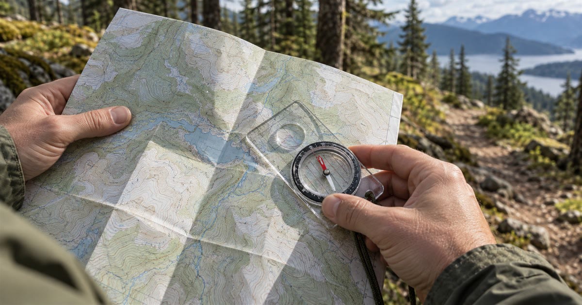
Place the compass flat on the map with the direction-of-travel arrow pointing toward the top of the map. Rotate the map and compass together until the compass needle aligns with north on the map — now the map physically matches the terrain around you.
Step 2: Take a Bearing
- Place the compass edge connecting your current position to your destination on the map.
- Rotate the bezel until the orienting lines align with the map’s north-south grid lines (not the needle yet).
- Read the bearing number at the index line — that’s your direction of travel.
Step 3: Follow the Bearing
Hold the compass flat, rotate your whole body until the needle sits inside the orienting arrow (“put red in the shed”), then walk in the direction the direction-of-travel arrow points. Pick a landmark ahead on that line and walk to it, then re-sight — this is more accurate than trying to walk in a straight line by eye alone.
- Baseplate orienteering compass — Check Price on Amazon
- Topographic map of your area — Check Price on Amazon
- Map case (waterproof) — Check Price on Amazon
Account for Declination
A compass points to magnetic north, not true north — the difference (declination) varies by location and can be several degrees. Check your map’s declination diagram (usually printed in the margin) and adjust your bearing accordingly, or use a compass with an adjustable declination setting.
Common Mistakes
Frequently Asked Questions
Do I need a topographic map specifically, or will any map work?
A topographic map is strongly preferred for backcountry navigation because it shows elevation, terrain features, and trails that a simple road map won’t — this is critical for route-finding off established paths.
What does ‘declination’ actually mean in simple terms?
It’s the angular difference between magnetic north (where your compass needle points) and true north (the direction on a map) — ignoring it causes a real, compounding directional error the farther you travel.
Can GPS replace learning compass and map skills?
GPS is a great tool but shouldn’t be your only method — battery failure, lost signal, or a dropped device can leave you without any backup if compass/map skills aren’t there.
How often should I re-check my bearing while hiking?
Every time you reach a chosen landmark along your line of travel — re-sighting frequently keeps small errors from compounding into a big one over distance.